Cartier had a few tools to help him find his way
across the Atlantic Ocean. A magnetic
compass
helped with direction, so Cartier knew he was
sailing west. An hourglass measured time. It took
four hours for the sand to run through the glass.
This tool also helped to determine how far the ship
had sailed. To figure out the ship’s
latitude
, Cartier
used an astrolabe. This instrument was used at night to
measure the degree, or angle, between a star and
the horizon. Cartier also looked for Polaris, or the
North Star, to help guide him. During the day, he
used the sun to figure out his position.
Finding the Way
Cartier would have been aware of Newfoundland before his first
voyage. In 1497, the explorer John Cabot sailed to North America.
Cabot brought back stories of seas full of fish. This encouraged
French, Spanish, English, and Portuguese fishermen to make the
journey across the Atlantic Ocean. They headed for the Grand
Banks, off Newfoundland.
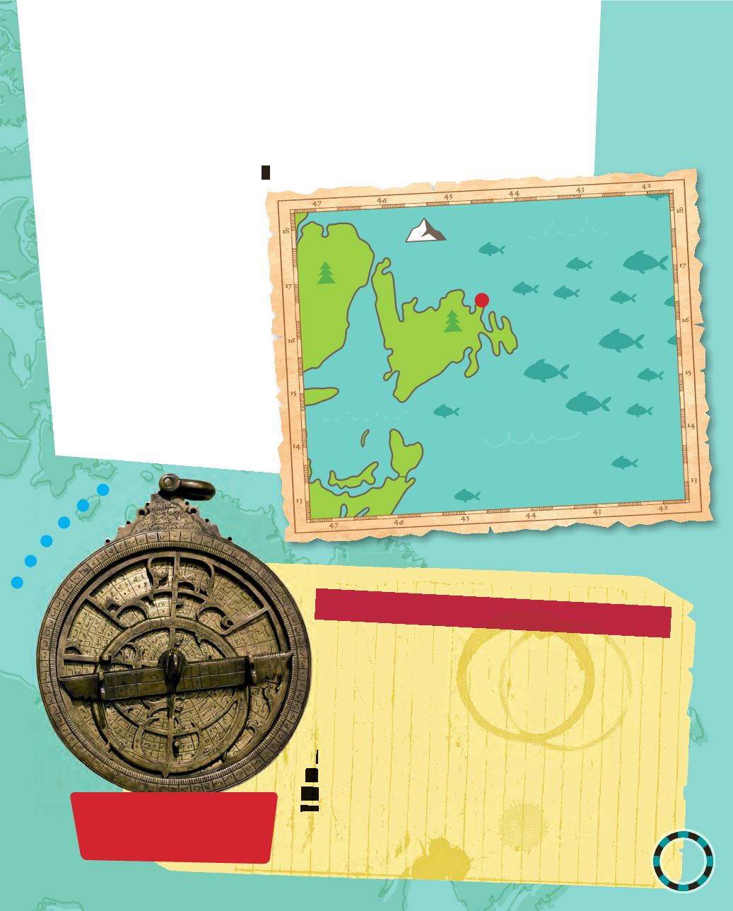
This was an area of the
Atlantic Ocean rich
in cod and other fish.
Cod, especially, was in
high demand in Europe.
The fishermen salted
or dried the fish so it
would not rot during the
long voyage back to
Europe. By 1520, up to
90 ships per year sailed
from France to the
Grand Banks.
7
a
m a
re
nd
The etchings on the outside
of the astrolabe are the
degree measurements.
Bonavista
Atlantic Ocean
Newfoundland
Nova Scotia
G
R
A
N
D
B
A
N
K
S


